
Water Damage Restoration Service Area: Kelso, WA
This service covers one city: Kelso, Washington, in Cowlitz County, ZIP code 98626. Every neighbourhood is covered, from West Kelso across the Cowlitz River to Lexington at the north end, along I-5 from Exit 36 to Exit 42. One number, (877) 659-0178, covers water damage restoration anywhere inside the city.
- All 14 Kelso neighbourhoods, one ZIP code: 98626
- I-5 Exits 36, 39, 40 and 42, plus SR 4, SR 411 and SR 432
- Kelso only: no nearby city is covered
Is your home covered? The quick answer
If the home is in Kelso, WA, ZIP code 98626, it is covered. Call (877) 659-0178 for water damage restoration in West Kelso, South Kelso, North Kelso, East Kelso, Lexington, Beacon Hill, Butler Acres, Rose Valley, Aldercrest, Mt. Brynion, Mt. Pleasant, Hilltop, Davis Terrace and Old Kelso Hill.
Coverage is Kelso only. If you are not sure whether an address is inside Kelso, call and ask.
Neighbourhoods covered across Kelso
Kelso is a small city, about 8.84 square miles, with 12,720 residents, but its neighbourhoods sit on very different ground: riverfront streets on the valley floor, mid-century streets on the flats, and hillside homes above the Cowlitz.
- West Kelso
- South Kelso
- North Kelso
- East Kelso
- Lexington
- Beacon Hill
- Butler Acres
- Rose Valley
- Aldercrest
- Mt. Brynion
- Mt. Pleasant
- Hilltop
- Davis Terrace
- Old Kelso Hill
Riverfront and valley floor
West Kelso sits west of the Cowlitz River, reached by the Allen Street Bridge, and South Kelso fronts the river at the south end of the city. South Kelso was inundated in the December 1933 flood, and its low streets still take water first when the river rises. North Kelso and East Kelso sit on the valley floor east of the river, close to downtown.
Mid-century streets and the north end
Butler Acres and Rose Valley hold mid-century ranches and family streets on the flats and lower slopes, and Lexington sits at the north end of the city off I-5 Exit 42. Beacon Hill rises just north of the city line along SR 411, and its homes share the 98626 ZIP code.
The hillsides
Mt. Brynion, Mt. Pleasant, Hilltop, Davis Terrace and Old Kelso Hill climb above the valley floor. Hillside homes sit above the floodplain, but steep lots shed water toward foundations, and older hillside houses carry the same pre-1980 plumbing as the rest of the city.
Aldercrest
Aldercrest, on the hill above the city, is the neighbourhood most Kelso residents associate with water damage for a different reason: the March 1998 landslide, driven by years of above-average rain, destroyed 129 homes. Hillside drainage still matters there more than anywhere else in the city.
Roads and landmarks that frame the service area
Local means knowing the city by its landmarks, not just its ZIP code. The roads and places below are how Kelso residents describe where they live.
I-5 and the state routes
Interstate 5 runs through Kelso with four exits inside the service area: Exit 36 for SR 432 and Talley Way, Exit 39 for SR 4 and Allen Street by Three Rivers Mall, Exit 40 for Kelso Avenue and Lower Columbia College, and Exit 42 for Lexington. SR 4 runs west as Ocean Beach Highway, SR 411 follows the Cowlitz as Westside Highway, and SR 432 loops through Tennant Way.
Landmarks
Service covers homes near Three Rivers Mall and Lower Columbia College, around City Hall on Pacific Avenue and the Cowlitz County offices downtown. Kelso is the county seat of Cowlitz County, on I-5 about 48 miles north of Portland, where the Cowlitz River meets the Columbia.
Rivers, dikes and the Kelso floodplain
Kelso sits at the meeting of three rivers: the Cowlitz along its western edge, the Columbia at its southern end, and the Coweeman to the east. The city stands on a diked floodplain about 13 feet above sea level.
Dikes and flood zones
Dikes built and raised by the U.S. Army Corps of Engineers after the 1980 Mt. St. Helens eruption filled the lower Cowlitz with sediment protect Kelso against floods larger than the 100-year event. Only about 1.6 percent of Kelso addresses sit in the FEMA Special Flood Hazard Area, and the city has been in the National Flood Insurance Program since 1979. Even so, high river levels raise the water table and push groundwater into basements and crawl spaces.
Flood history
The Cowlitz has flooded Kelso before: in 1906, in 1923, when the Allen Street Bridge collapsed, and in 1933, when South Kelso was inundated. In February 1996 the river peaked at 29.5 feet at Kelso, and the December 2025 atmospheric river flooded basements across the city. The full story is on the Kelso flood history page.
Kelso only, and why that is stated plainly
This service covers Kelso and only Kelso. Longview sits just across the Cowlitz River, and Castle Rock, Kalama and Woodland are a short drive up or down I-5, but none of them is covered by this service, and none of them has a page on this site. If the property is in Kelso, ZIP code 98626, call (877) 659-0178.
Kelso service area: frequently asked questions
Which parts of Kelso do you cover?
Coverage is Kelso only, across ZIP code 98626. That includes West Kelso, South Kelso, North Kelso, East Kelso, Lexington, Beacon Hill, Butler Acres, Rose Valley, Aldercrest, Mt. Brynion, Mt. Pleasant, Hilltop, Davis Terrace and Old Kelso Hill, along I-5 from Exit 36 to Exit 42.
Do you cover Longview or other nearby cities?
No. This service covers Kelso only. Longview sits just across the Cowlitz River, and Castle Rock, Kalama and Woodland are all a short drive up or down I-5, but none of them is covered by this service, and none of them has a page on this site.
Is Kelso, WA in a flood zone?
Only about 1.6 percent of Kelso addresses sit in the FEMA Special Flood Hazard Area, and the city has been in the National Flood Insurance Program since 1979, with dikes that protect against floods larger than the 100-year event. Most water damage in Kelso homes comes from rain, burst pipes, roof leaks, sewer backups and appliance failures rather than river flooding.
What causes water damage most often in Kelso homes?
Heavy rain and atmospheric rivers from October to March, burst and frozen pipes in cold snaps, sewer backups from aging laterals and high groundwater, roof leaks on older shingles, sump pump failures during storms, and year-round appliance and plumbing leaks. Kelso's older housing stock, median home built in 1963, is more exposed to most of these than newer construction.
How do I know if my home is in the Kelso service area?
If the property address is in Kelso, Washington, ZIP code 98626, it is covered. If you are not sure whether an address is inside the city, call (877) 659-0178 and ask.
Water damage anywhere in Kelso: call before it spreads
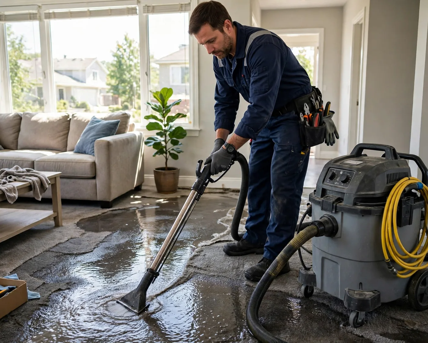
A burst pipe, a flooded basement or a sewage backup cannot wait. Mold can start within 24 to 48 hours, and water keeps moving into drywall, flooring and framing every hour it sits.